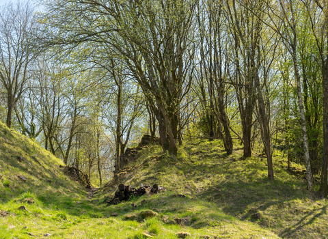
Laymoor Quag (c) Nathan Millar

Laymoor Quag (c) Nathan Millar
Laymoor Quag
Location
Know before you go
Dogs
When to visit
Opening times
Open access throughout the yearBest time to visit
June to SeptemberAbout the reserve
Due to coal-mining and afforestation in the eighteenth and nineteenth centuries Laymoor Quag is the last remaining relic of Cinderford’s wet heathland which once covered a large area.
Its marsh and ponds support a variety of wildflowers, including heather, gorse, heath bedstraw, lousewort, tormentil and sneezewort. Marsh marigold, cuckooflower, meadowsweet and ragged robin grow within the grass. At the eastern edge of the nature reserve there is a spring-fed pond surrounded by yellow iris, skullcaps and various bog mosses.
This is a great place for watching dragonflies hunting smaller insects and for spotting birds, mammals and reptiles, including adders. Great-crested newts have also been recorded here.
Species
Parking and more detailed directions
Laymoor Quag is situated just outside the town of Cinderford, to the west of the Forest Vale Industrial Estate. The reserve lies within the large ‘open access’ area of Forestry Commission land in the Forest of Dean so there is free access to the reserve.
From the north-east (i.e. from Gloucester or Cheltenham), Cinderford is reached via either the A40 and A4136 or via the A48; and from the southwest via the A48 from the Severn Bridge crossings.
Whilst there is street parking close to reserve in the vicinity of Forest Vale Road, from which there is footpath access, it is recommended that people visiting the reserve by car park at Ruspidge Halt (nearest postcode is GL14 3ER), which is free of charge. From here it is exactly one mile (1.7km) on a well-graded footpath to the reserve.
Ruspidge Halt car park is located just off the B4226 ‘Speech House Road’ on the right as you come out of Cinderford (on the left if coming from the Coleford direction).
OS reference: SO649126
What3Words: harnessed.officers.charm
The footpath makes for a pleasant walk, on flat ground, passing ponds, woodland and open grassland areas. Head northwards from the car park with the rugby pitch on your left and continue until you reach a large vehicle sales compound on your left with a snack bar. Here the footpath crosses a dirt track. Pass the green metal Forestry Commission barrier and beneath an elevated pipe into an area of open grassland with Bilson Green sewage treatment works on your left. Continue north along the obvious footpath and you will reach the reserve on your left.
The walk from Ruspidge Halt car park to the reserve is just under 2km.


